The World's Most Dangerous and Spectacular Roads, Mapped
From Bolivia's Death Road to a French causeway that disappears under the sea twice a day, here are 42 of the world's most dangerous and spectacular roads, each pinned at its most iconic point on one free map.
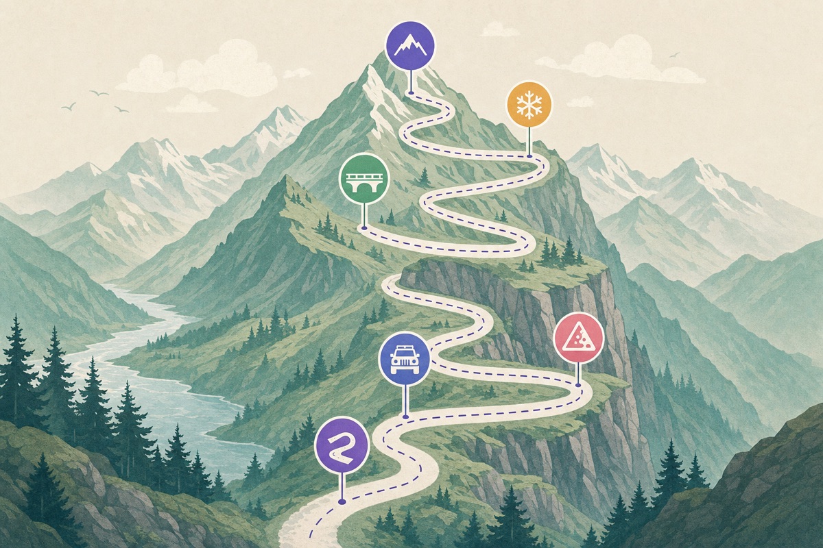
Some roads exist to get you somewhere. Others exist to remind you that the planet doesn't owe you a guardrail. This map is about the second kind: 42 roads that people cross continents to drive, each one pinned at its most iconic point, the hairpin, the tunnel window, the cliff edge you've seen in a hundred photos without knowing where it was.
A quick word before the tour. "Dangerous" here isn't a marketing word. Some of these roads have killed a lot of people, and a few still do. The map treats them with the respect they deserve: every description says what the real risk is, when to go, and whether your rental car has any business being there.
The infamous ones
Bolivia's North Yungas Road earned the name "Death Road" honestly, with hundreds of deaths a year at its worst on a muddy ledge barely three meters wide above a 600-meter drop. Here's the part most articles skip: since the new paved bypass opened, almost all vehicle traffic left, and the old road has become a mountain-bike pilgrimage. You can now ride the world's most notorious road with a guide, good brakes, and statistics massively on your side.
The Karakoram Highway between Pakistan and China is the highest paved international road on Earth, threading between 8,000-meter peaks through terrain that regularly tries to reclaim it with landslides. And in the Indian Himalaya, the Kishtwar road, nicknamed the Cliffhanger, is carved directly under overhanging rock: a dirt shelf where the mountain forms your ceiling and the Chenab River waits a very long way below. No barrier, obviously.
The engineering marvels
Some roads are dangerous; others just look impossible. The Guoliang Tunnel in China was chiseled through a cliff face by thirteen villagers with hand tools, because their village had no road at all. The "windows" they cut to throw rubble out are now the tunnel's famous viewpoints.
Nearby in spirit, Tianmen Mountain Road stacks 99 hairpin bends up a single mountainside, a number chosen for heaven rather than traffic flow. Romania's Transfăgărășan became world famous when Top Gear called it the best road in the world, and for once the hype survives contact with reality: it's a ribbon of perfect curves thrown over the Carpathians, open only a few months a year.
Norway shows up twice, because Norway can't help itself. Trollstigen climbs a wall of eleven hairpins beside a waterfall, and the Atlantic Ocean Road hops between islets on bridges that seem to launch into the sea, spectacular on a calm day and genuinely wild in a storm.
The one the sea takes back
The strangest pin on the map might be the Passage du Gois in France. It's a 4-kilometer causeway to the island of Noirmoutier that is underwater twice a day. Drive it at low tide and it's a scenic shortcut; mistime it and you'll understand why there are elevated rescue towers along the way, built for drivers who have to abandon their car and climb while the Atlantic covers the road. The tide tables are posted at both ends. People still get it wrong.
The American classics
The United States contributes some heavyweights. Colorado's Million Dollar Highway through the San Juan Mountains is a beautifully paved road with one detail that gets your attention: on the cliff side, in many sections, there is simply no guardrail, by design, so snowplows can push snow over the edge. Utah's Moki Dugway drops off a mesa in three miles of steep gravel switchbacks with views that make it hard to watch the road, which is exactly the problem. And Going-to-the-Sun Road in Glacier National Park is the gentlest of the trio, a masterpiece of 1930s engineering that still closes for most of the year under meters of snow.
The expedition-grade
Then there are the roads where the danger isn't a drop, it's distance. Russia's Kolyma Highway, the Road of Bones, crosses some of the coldest inhabited terrain on Earth; a breakdown in January is a survival situation, not an inconvenience. Australia's Canning Stock Route is around 1,800 kilometers of desert track with no fuel, no services, and a firm requirement for convoy travel and serious planning. And Sani Pass, the rough switchback climb from South Africa into Lesotho, still legally requires a 4x4 to attempt, which tells you what you need to know.
Be honest with yourself
This is the part I care about. Many of these roads need a real 4x4. Many close seasonally, and "closed" in the Andes or the Rockies is not a suggestion. Several are genuinely lethal in bad weather, and the weather changes fast at altitude. Every spot description on the map says which category the road falls into, so you know before you dream too hard whether it's a rental-car detour or a proper expedition.
To slice the map your way, use the hashtags: #cliff for the exposure, #tidal for the Gois, #unpaved for the ones that eat sedans, #hairpins for the driver's roads, and #seasonal for the ones with a short window. Filter to #hairpins #seasonal and you basically get a European summer road trip.
The map is free and public, and like any Ikuzo map you can copy it into your own account, keep the roads that fit your kind of trip, and delete the ones your insurance company wouldn't approve of. Drive carefully. The view is better when you get to remember it.
Start your own map
Save the places you want to visit, organize them your way, and plan the trip, free.