The 43 Strangest Islands on Earth, Mapped
Islands you can't visit, islands ruled by cats, islands that switch countries every six months. I mapped 43 of the strangest ones, from North Sentinel to Vulcan Point, all filterable by hashtag.
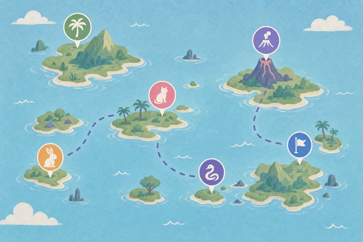
Islands do something to the imagination that no other geography does. Draw a line of water around a piece of land and suddenly anything can happen there: a separate legal system, a separate ecosystem, a separate century. I've been collecting the weird ones for years, and I finally put them all on one map. Forty-three islands, each one strange in its own particular way.
You can open the map and wander freely, but here's a guided tour, sorted by flavor of strangeness.
The ones you're not allowed to visit
North Sentinel Island, in the Andaman Sea, is home to the Sentinelese, one of the last uncontacted peoples on Earth. India enforces a strict keep-away zone around it, and rightly so: the isolation protects the islanders from diseases they have no immunity to, and it protects their choice to be left alone. It's the rarest thing on the map, a place that belongs entirely to the people who live there.
Ilha da Queimada Grande, off the coast of Brazil, keeps visitors away for a very different reason. It's better known as Snake Island, and it hosts one of the densest populations of golden lancehead vipers anywhere, a snake found nowhere else. Brazil bans landing outright.
Then there's Surtsey, which didn't even exist until 1963, when it rose out of the sea off Iceland in a plume of ash. Scientists immediately closed it to everyone but researchers, so they could watch life colonize brand-new land from zero. Sixty years on, it's still a living experiment.
The animal kingdoms
Japan alone contributes three islands where the animals run the show. Ōkunoshima, in the Seto Inland Sea, is overrun with tame rabbits that will climb into your lap for a snack. Aoshima and Tashirojima are the famous cat islands, tiny fishing communities where cats outnumber humans several times over.
Christmas Island, an Australian territory in the Indian Ocean, stages one of the great wildlife spectacles on the planet: tens of millions of red crabs marching from forest to sea each year, so many that roads close for them. And in the Bahamas, Big Major Cay, better known as Pig Beach, is home to a colony of swimming pigs that paddle out to meet arriving boats.
The abandoned
Hashima, off Nagasaki, is the one I keep coming back to. A tiny rock once packed with the highest population density in the world, all concrete apartment blocks around a coal mine. When the mine closed in 1974, everyone left within months, and the whole city has been crumbling in the salt wind ever since.
Spinalonga, in Crete, carries a heavier history. It was one of Europe's last leper colonies, active until 1957. Today you can walk its small streets and feel both the isolation and the community that existed there.
The absurdly remote
Tristan da Cunha is the remotest inhabited place on Earth: around 240 people, in the South Atlantic, a week's boat ride from Cape Town, no airport. Their nearest neighbors are on Saint Helena, 2,400 kilometers away.
Bouvet Island takes remoteness further by removing the people entirely. A glacier-covered Norwegian speck in the far South Atlantic, it's often called the most isolated island in the world. And Pitcairn, settled by the Bounty mutineers in 1790, still counts fewer than fifty residents, most of them descendants of the mutiny.
The sovereignty jokes
Some islands are strange purely because of the lines humans drew around them. Pheasant Island, in a river between France and Spain, changes nationality every six months, a peaceful arrangement running since 1659. Märket, a rock between Sweden and Finland, has a border that zigzags absurdly across it because Finland built its lighthouse on the Swedish side by mistake, and the two countries redrew the line rather than move the lighthouse.
My favorites are the Diomedes, two islands in the Bering Strait less than four kilometers apart. One is Russian, one American, and the International Date Line runs between them. Stand on Little Diomede and you're looking at tomorrow.
The geologically absurd
Vulcan Point, in the Philippines, is an island in a lake on a volcano in a lake on an island. Read that again slowly, it's real. Ball's Pyramid, near Lord Howe Island, is a 562-meter blade of rock jutting straight out of the Tasman Sea, the tallest volcanic stack on Earth, and the last refuge of an insect once thought extinct. And at Deception Island, in Antarctica, ships literally sail through a breach in the crater wall and anchor inside an active volcano.
How to explore the map
Every island on the map is tagged, so you can filter the whole collection by mood: #forbidden for the places you can't go, #animals for the crab marches and cat kingdoms, #abandoned for the ghost towns, #remote for the ends of the earth, and #border for the sovereignty oddities. Type a hashtag in the map's search and it shows only those pins, which turns 43 islands into five little themed tours.
The map is free to browse, and if you're logged in to Ikuzo you can copy the whole thing into your own account, spots and notes included, and build on it. Add your own strange islands. There are definitely more than 43 out there.
Start your own map
Save the places you want to visit, organize them your way, and plan the trip, free.