Hiroshige's 53 Stations of the Tokaido: A Map of Every Station
All 55 prints of Hiroshige's Fifty-three Stations of the Tokaido, from Nihonbashi in Edo to the Sanjo Bridge in Kyoto, pinned on the post towns they show. Several still have their old inns, checkpoints and streets.
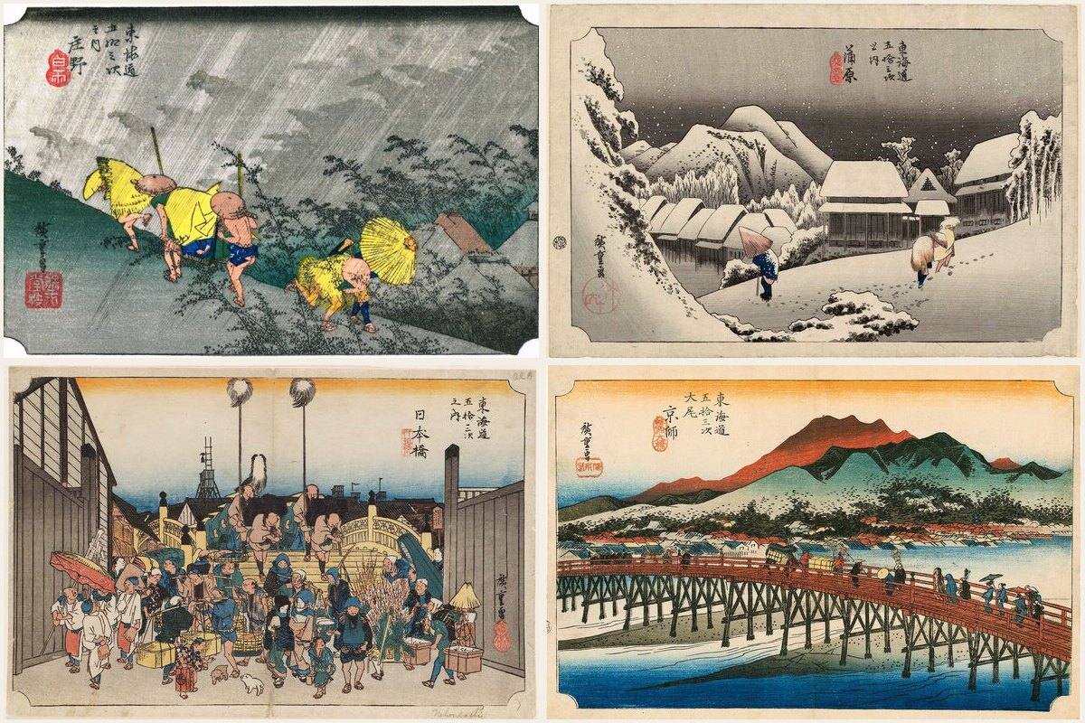
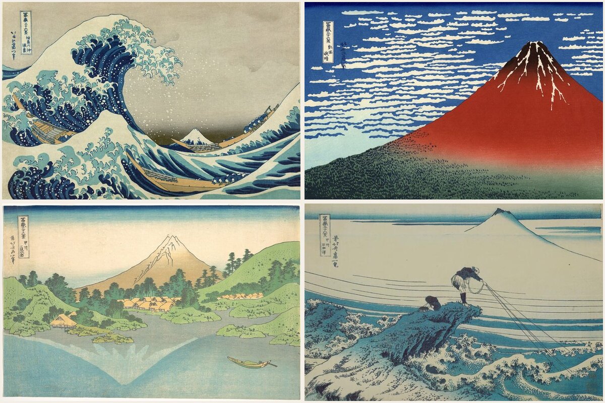
The Tokaido was the great road of Edo Japan, about 500 kilometers along the coast from Edo to Kyoto, with 53 official post towns where travellers ate, slept and changed horses. In the early 1830s Hiroshige turned it into a series of prints, one for each station plus the start and the end: 55 prints in all, published around 1833 to 1834 by Hoeido.
This map pins every one of them on the post town it shows, with the print attached, so you can follow the road from Nihonbashi to Kyoto in order.
What is still there
The road has become highways, railways and suburbs, but a surprising amount of the old Tokaido survives if you know where to look:
- Nihonbashi, the starting point, still spans its river in central Tokyo, on a stone bridge from 1911.
- Hakone, where the rebuilt checkpoint stands on the shore of Lake Ashi.
- Arai, whose checkpoint building is the only original one left on the whole road.
- Mariko, where the teahouse Chojiya still serves the tororo soup Hiroshige drew.
- Okabe, with Kashiwaya, a restored Edo-period inn.
- Seki, one of the best preserved post towns, with a long street of old wooden houses.
- Kusatsu, whose honjin, the inn for lords and officials, survives and is open to visitors.
- Kyoto, where the Sanjo Ohashi still crosses the Kamo River at the end of the road.
Where a station has a surviving building or a marked honjin site, the pin sits there. Otherwise it marks the center of the old post town.
The famous ones
Some prints are famous on their own. Shono (Driving Rain) shows travellers running through a sudden downpour. Kanbara (Night Snow) shows deep snow on a coast where heavy snow is rare, one of the series' small mysteries. Hara has Mount Fuji rising out of the frame, and Mishima dissolves into morning mist.
The prints also record how people travelled: the ferries across the Tama River at Kawasaki and from Miya to Kuwana, the porters carrying travellers across the Oi River at Shimada and Kanaya, the inns and their serving women at Goyu and Akasaka.
Using the map
Folders follow the road by prefecture, from Tokyo through Kanagawa, Shizuoka, Aichi, Mie and Shiga to Kyoto. Each spot is tagged with its print number (#print01 to #print55) and its station number (#station01 to #station53), plus #start and #end.
The map is public and free to browse. Copy it into your own Ikuzo account to plan a stretch of the old road: Hakone, the Satta Pass at Yui, or the Seki to Sakashita section in Mie all make good day trips, and the shinkansen follows roughly the same route between Tokyo and Kyoto.
Start your own map
Save the places you want to visit, organize them your way, and plan the trip, free.