Hokusai's 36 Views of Mount Fuji: A Map of Every Viewpoint
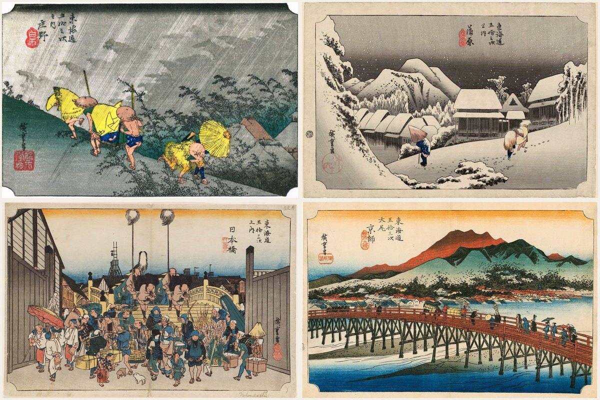
All 46 prints of Hokusai's Thirty-six Views of Mount Fuji, from the Great Wave to Red Fuji, pinned where each view is believed to have been drawn. Most of the places still exist, and some still show Fuji on a clear day.
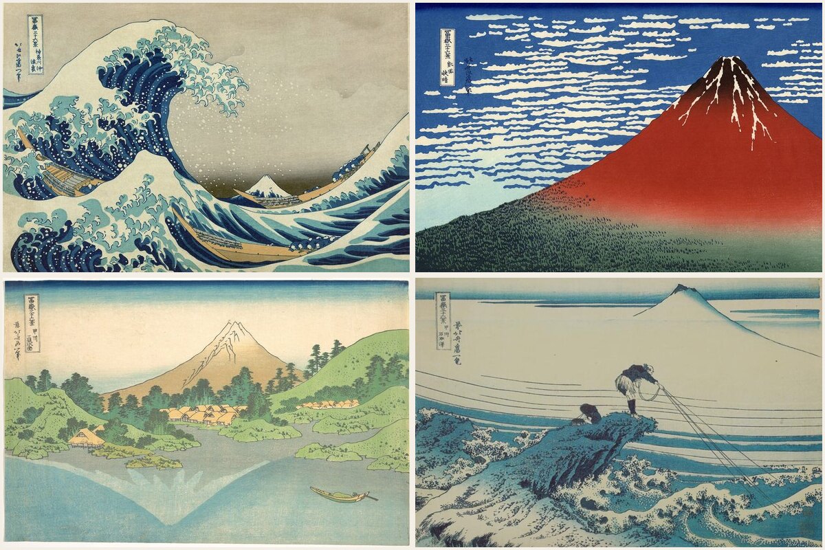
Everyone knows the Great Wave. Far fewer people know it is the first print of a series, and that the series is really a road trip: Hokusai looking at Mount Fuji from fishing villages, bridges, tea fields, mountain passes and the roofs of Edo, around 1830 to 1832.
Thirty-six Views of Mount Fuji was such a success that the publisher added ten more prints, so the "36 views" are actually 46. This map pins all of them, each with its print, so you can see the image and the place side by side.
How the places were chosen
For most prints, the place is in the title: Hodogaya on the Tokaido, Ushibori in Hitachi Province, Lake Suwa in Shinano. Those are pinned on the old post town, bridge, lake or temple they name, which you can still visit today.
A few are not that simple, and the map says so in the description instead of pretending:
- The Great Wave off Kanagawa shows the sea off Kanagawa, today's Yokohama, but no spot can be pinned on open water. The pin marks the old Honmoku coast.
- Red Fuji and Thunderstorm Beneath the Summit show the mountain itself. Hokusai's viewpoint is not known, so both pins sit on Fuji.
- In the Mountains of Totomi Province and the Tama River name a region rather than a place, so the pins mark a reasonable spot in that region.
Edo, then and now
About a third of the prints are in Edo, today's Tokyo, and they make a surprisingly good walking list. Nihonbashi, the bridge every road in Japan was measured from, is still there. So is the Mannen Bridge over the Onagi River in Kiyosumi, Higashi Hongan-ji in Asakusa, and the old fishing island of Tsukuda at the mouth of the Sumida.
Fuji is rarely visible from these places now, but the geography is the same: the rivers, the hills of Surugadai and Koishikawa, the bay. Walking from Nihonbashi to Kiyosumi takes about an hour and passes three of the prints.
Where Fuji is still in the frame
Some viewpoints are still classic Fuji views today, and they carry the #fujiview tag on the map:
- Shichirigahama in Kamakura, across Sagami Bay
- Enoshima, reached by its long bridge from Fujisawa
- Tago Bay in Fuji city, right under the mountain
- Lake Kawaguchi below the Misaka Pass, the "Reflection" print
- Lake Ashi in Hakone
- Kagosaka Pass, believed to be Hokusai's Mishima Pass
Winter mornings give the best odds of a clear view.
Using the map
Every spot is tagged with its print number (#view01 to #view46), with #original36 for the first set and #later10 for the additions. Tap a tag in Ikuzo and the map filters instantly, for example to show only the places where Fuji is still in view.
The map is public and free to browse. If you are planning a trip, copy it into your own Ikuzo account and keep only the views on your route: a day in Tokyo can cover several, and the Fuji Five Lakes or Hakone add a few more.
Start your own map
Save the places you want to visit, organize them your way, and plan the trip, free.